The basic principle
Drones can be detected through signals and physical characteristics
Not every technology observes the same thing. It is therefore essential to understand which questions each data source can answer.
01 RADIO LINK
Passive RF analysis
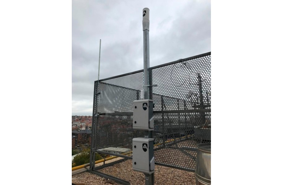
An RF system monitors supported transmissions between the drone and its controller without transmitting an interference signal itself.
Depending on the protocol, the model, position, flight path and controller position may be available.
02 COOPERATIVE SIGNAL
Direct Remote ID
Direct Remote ID broadcasts standardised identification and position information locally when the aircraft is required and technically equipped to do so.
The signal supports attribution, but it does not replace comprehensive monitoring.
03 PHYSICAL OBJECT
Complementary sensors
Radar, cameras, thermal imaging and acoustic sensors detect physical or optical characteristics rather than a specific communication protocol.
They can complement the system in specific risk scenarios, but each technology has its own limitations.
01 PASSIVE RF ANALYSIS
Monitors supported radio links between the drone and its controller without actively interfering with them.
02 DIRECT REMOTE ID
Broadcasts standardised identification and position information when the aircraft is appropriately equipped.
03 COMPLEMENTARY SENSORS
Radar, cameras, thermal imaging and acoustic sensors detect physical, optical or acoustic characteristics.
RF detection step by step
How a transmission becomes an alert
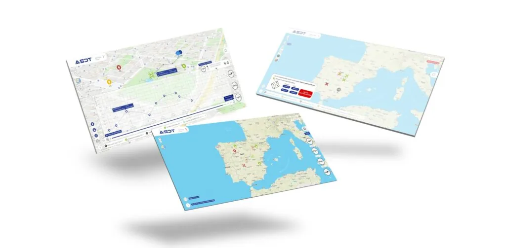
ASDT SENDES operates passively. The system analyses supported signals, interprets the available information and displays it in SENDES Gate.
01
Monitor
The radio environment is continuously analysed for supported drone transmissions.
02
Detect
A matching signal is identified as supported drone communication.
03
Classify
Available model, position and movement data are assigned to the event.
04
Assess
The flight path, protected zones and known authorised operations are included in the assessment.
05
Alert
The security team receives a traceable event record rather than a simple sighting report.
Important: The data that are actually available depend on the drone model, the protocol used, signal quality and system configuration.
01 MONITOR: Analyse the radio environment.
02 DETECT: Detect supported communication.
03 CLASSIFY: Assign available data.
04 ASSESS: Compare the flight path with protected zones.
05 ALERT: Report a traceable event.
Available data depend on the model, protocol, signal quality and configuration.
Understanding Remote ID correctly
A digital licence plate, but not a complete security solution
Direct Remote ID broadcasts identification and position information locally. According to EASA, this can include the drone's position, the operator registration number and the remote pilot's position or, if unavailable, the take-off point.
A publicly received registration number does not directly reveal the operator's name. According to EASA, only enforcement authorities can query the registration database and associate the number with a person.
✓ Remote ID provides standardised information
It can make received identification and position data available more quickly for assessment.
✓ Remote ID can be received locally
EASA states that the broadcast information can also be received through a suitable smartphone app.
! Remote ID is not present on every lawful flight
Legacy drones without a class identification label may continue to operate in A1 or A3 under certain conditions. Member States may also establish geographical zones in which Remote ID is not mandatory.
! Remote ID does not assess intent
A broadcast data set does not automatically determine whether a flight is authorised, harmless or relevant to security.
What this means for sensitive sites
Remote ID is a valuable data source. However, organisations that need to monitor the airspace around a sensitive site should not base their security concept solely on a correctly broadcast Remote ID signal.
Remote ID can locally broadcast information including the drone's position, the operator registration number and the remote pilot's position or take-off point.
✓ Standardised information supports faster assessment.
! Not every drone that can be operated lawfully is required to broadcast Remote ID.
! A data set assesses neither authorisation nor intent.
A sensitive site should not base its security concept solely on Remote ID.
Which technology detects what?
Four detection technologies with different strengths
No single technology detects every aircraft under all conditions. A site assessment determines whether RF detection is sufficient or additional sensors are required.
RF ANALYSIS
Detect communication
Passive and discreet, with detailed identification and position data depending on the protocol.
Limitation: Requires a supported transmission that can be received.
RADAR
Track a physical object
Can detect moving objects independently of a specific control protocol.
Limitation: Environmental factors and the classification of small targets can be challenging.
EO AND IR
Confirm visually
Cameras and thermal imaging support the visual confirmation of a detected object.
Limitation: Line of sight, weather, lighting and distance affect the result.
ACOUSTIC
Detect sound patterns
Acoustic sensors search for characteristic sounds produced by rotors and propulsion systems.
Limitation: Ambient noise and distance limit reliability.
RF ANALYSIS
Detects supported communication. Requires a transmission that can be received.
RADAR
Tracks physical objects. Small targets must be classified reliably.
EO AND IR
Confirms objects visually. Line of sight, weather and lighting affect the result.
ACOUSTIC
Detects sound patterns. Ambient noise and distance limit performance.
ASDT SENDES at sensitive sites
RF data become a situational overview in SENDES Gate

In brief
Frequently asked questions about professional drone detection
How does an RF system detect a drone?
It analyses supported radio transmissions between the drone and its controller. Available data depend on the protocol, model, signal quality and system configuration.
Is Remote ID the same as drone detection?
No. Remote ID is a standardised broadcast from certain drones. Professional detection monitors a defined area, assesses events and can use additional data sources.
Does every site need radar and cameras?
No. The required sensors depend on the terrain, risk profile, environment and relevant drone types. More technology does not automatically result in a better security concept.
How does RF technology detect a drone?
It analyses supported radio transmissions. The available information depends on the protocol, model, signal quality and configuration.
Is Remote ID the same as drone detection?
No. Remote ID is a standardised broadcast from certain drones. Professional detection monitors an area and combines the available information.
Does every site need multiple sensors?
No. The appropriate configuration depends on the terrain, risk profile, environment and relevant drone types.
ASDT SENDES for sensitive sites
The right sensor configuration starts with a site assessment.
The radio environment, terrain, protected zones, expected drone types and internal processes determine the appropriate configuration. ProFlyCenter provides advice and supplies the mobile or stationary SENDES solution for your operational profile.
Your direct contact
What data do you need to make an informed decision?
Carsten Weber assesses your site and clearly explains what information SENDES can provide and where its technical limitations lie.
ASDT SENDES for sensitive sites
The right sensor configuration starts with the site.
The radio environment, terrain, protected zones and expected drone types determine the configuration.
Discover ASDT SENDES View the stationary system View the mobile systemCW
Your contact
Carsten Weber
We clearly explain what information SENDES can provide and which configuration suits your operational profile.
Book a free initial consultationAre you interested in this topic? Check it out!