")
In this article, you will learn:
1. What defines the DJI Mavic 3 Enterprise series (M3E, M3T, M3M).
2. Which common features the models share (weight, flight time, O3, sensor technology, modes).
3. Where the camera differences lie (4/3″ mechanical shutter, Thermal 640×512, multispectral bands).
4. How the models can be used in surveying/inspection/energy/forestry/emergency.
5. Which mapping functions are integrated (area, linear mission, waypoints, Smart Oblique).
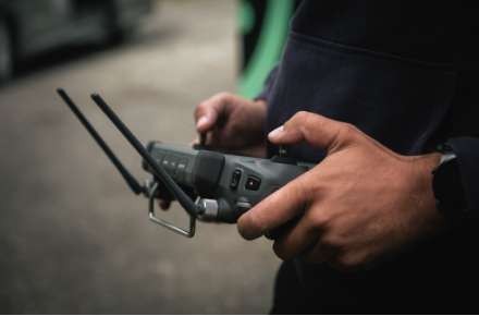
6. Which accessories are useful (batteries, multi-charger, RTK, loudspeaker).
7. Which software is common (PIX4D, DJI Terra, SmartFarm, QGIS/SNAP/ArcGIS).
8. What to consider regarding training/regulations (OPEN A3/A2, distances, A2 license for proximity to people/buildings).
Overview: Compact, Professional, Versatile
The Mavic 3 Enterprise series (since 2022) includes Mavic 3 Enterprise (M3E), Mavic 3 Thermal (M3T), and Mavic 3 Multispectral (M3M). Foldable like consumer drones, but with Enterprise features that were previously reserved for large platforms.

Common Features
- Weight: approx. 915–951 g (model-dependent).
- Flight Time: 43–45 min (5000-mAh batteries).
- Link/Range: O3 transmission, coverage area up to ~8 km.
- Obstacle Sensing: Wide-angle sensors all around for omnidirectional avoidance.
- Environment: Operation −10 … 40 °C, wind resistance up to 12 m/s.
- Modes: Advanced RTH, Terrain Follow, PinPoint/POI, area and linear missions, Waypoints.
- Smart Oblique: Yes for M3E; not for M3T; for M3M only via the RGB camera.
Camera Profiles & Differences
Mavic 3 Enterprise (M3E) – Photogrammetry & Inspection:
- Wide-Angle: 4/3″ CMOS, 20 MP, 24 mm, mechanical shutter (grid shots up to 0.7 s interval), Low-Light mode.
- Tele: 1/2″ CMOS, 12 MP, ~162 mm, 56× Hybrid (8× optical).
Mavic 3 Thermal (M3T) – Thermography & BOS/Inspection:
- RGB: Wide-angle + Tele (smaller sensor/scope than M3E).
- Thermal: 640×512@30 Hz, point and area measurement; ranges: −20…150 °C (High-Gain) / 0…500 °C (Low-Gain), 28× zoom, various palettes.
Mavic 3 Multispectral (M3M) – Agriculture & Environment:
- RGB: 4/3″ CMOS 20 MP (like M3E).
- Multispectral: 1/2.8″ CMOS 5 MP per channel; bands: G 560±16 nm, R 650±16 nm, RE 730±16 nm, NIR 860±26 nm; Single/Time-lapse; indices NDVI/GNDVI/NDRE.
Applications (Selection)
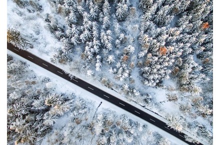
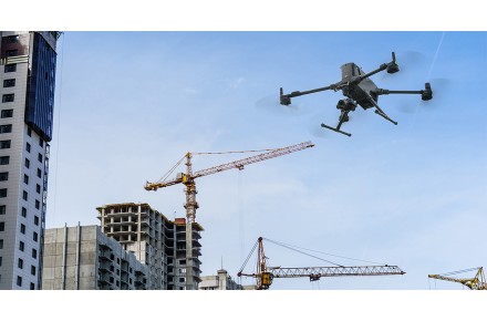
M3E – Surveying/Inspection/3D: fast, low-vibration raster flights, precise orthophotos & models, detail inspections (lines, bridges, masts), progress documentation.
M3T – BOS/SAR/Inspection: night/low-light situations, crowd monitoring, HOT spot search (fire/leakage/insulation), real-time situational awareness.
M3M – Agriculture/Forestry/Eco: plant health, early stress/pest detection, optimizing irrigation/fertilization, forest/ecosystem monitoring, 3D harvest maps.

Accessories & Bundles
- Kits: Drone, bag, battery, 3 months software, manufacturer insurance (1–2 years, "Care"), 2 years warranty.
- Recommendations: additional batteries & multi-charger (e.g., set of 3 with charging hub).
- Extensions: RTK module (up to ~1 cm; included with M3M), loudspeaker for announcements.

Software Stack
- PIX4D (Photogrammetry to Precision Ag): approx. € 180 – ~€ 1,100/month, 15 days test.
- DJI Terra (3D mission, reconstruction, corridor, inspection): 3 months included with M3E series; ~€ 3,800/year per device.
- M3M: DJI SmartFarm 1 year included; also QGIS/SNAP (free, learning-intensive) and ArcGIS (license required).

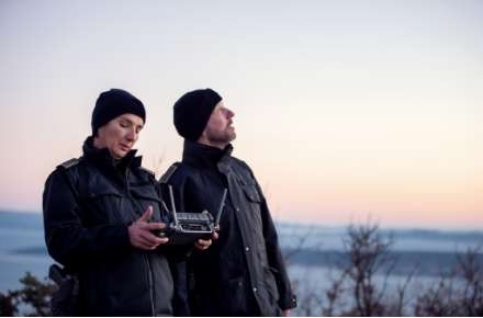
Training & Regulations (OPEN)
All three models > 900 g → use in OPEN A3 and A2. Distances: typically 150 m (A3) or 30 m (A2). For operations close to people/buildings, the A2 license is required. Training courses (budget from € 99; on-site from € 369 p.p.) are available.

Conclusion
M3E delivers the best package for surveying/3D and inspection (mechanical shutter, fast raster). M3T is the workhorse for thermography in BOS/Inspection. M3M opens the door to precise agricultural/environmental analysis. All three are compact, efficient, and noticeably enhance projects in terms of quality and cost-effectiveness.
Are you interested in this topic? Check it out!